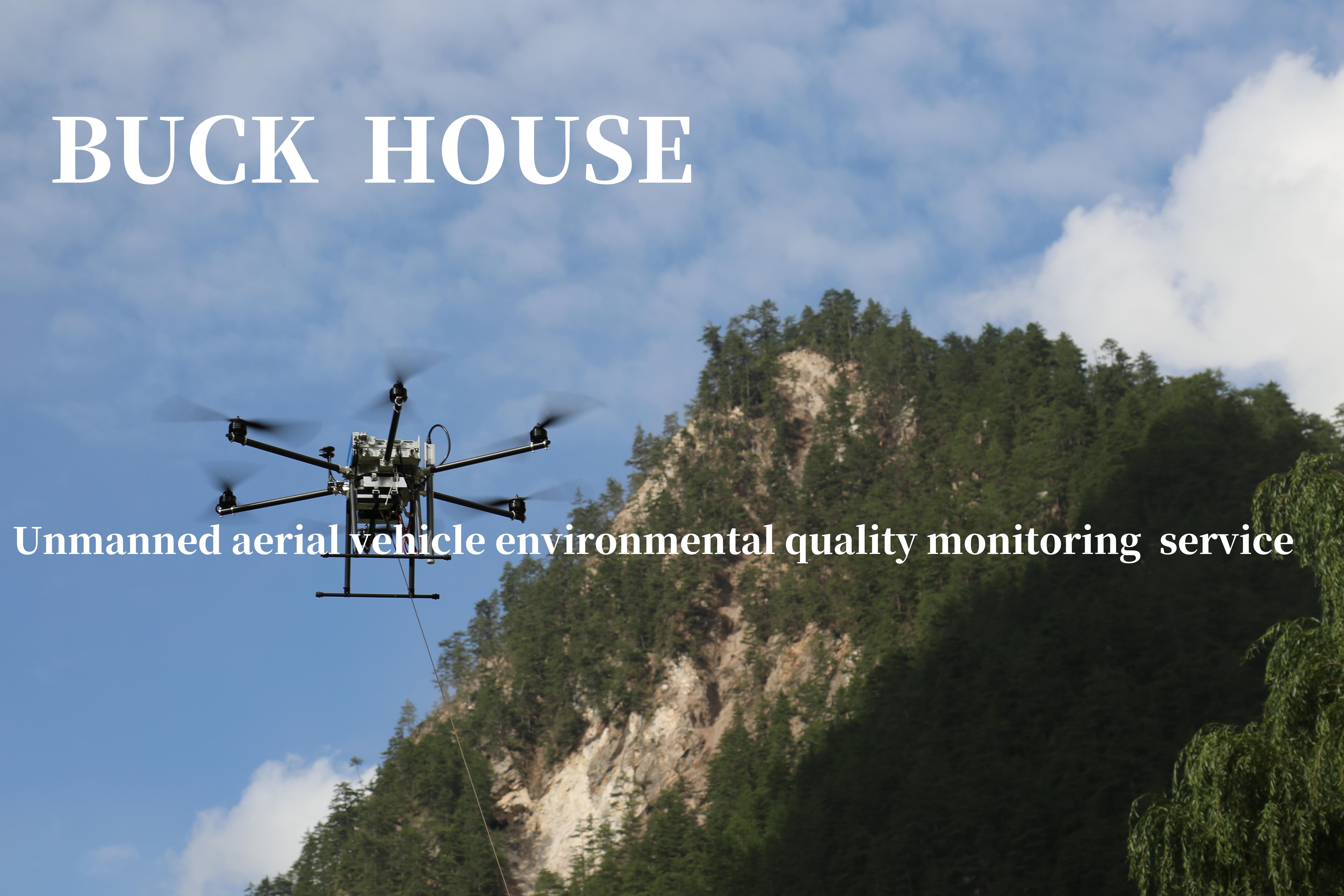
The core content of drone environmental quality monitoring services includes real-time monitoring and data collection of environmental factors such as air quality, water quality, and soil, helping relevant departments and institutions to timely understand the environmental conditions and take corresponding measures. The drone environmental quality monitoring service specifically includes the following aspects: air quality monitoring: Drones can be equipped with high-precision sensors to penetrate haze and monitor the concentration of pollutants such as PM2.5, PM10, sulfur dioxide, and nitrogen oxides in the air. They conduct regular patrols in key areas such as industrial parks, city centers, and transportation arteries, providing real-time data for environmental regulatory agencies to help develop pollution control strategies. Water quality monitoring: Using drones equipped with water quality monitoring equipment to sample and analyze chemical substances, microorganisms, etc. in water bodies, achieving real-time monitoring and data collection of water quality. Drones can enter water bodies with complex geographical locations that are difficult to monitor using traditional methods, thereby improving the comprehensiveness of water quality monitoring data. Soil monitoring: Using unmanned aerial vehicles equipped with soil detection equipment such as soil samplers, spectral analyzers, etc., to quickly survey and dynamically monitor the pollution situation. Drones demonstrate high flexibility and timeliness in soil monitoring, enabling rapid acquisition of large-scale soil data. Ecosystem assessment: Drones can use high-resolution cameras and multispectral imaging technology to evaluate vegetation cover, biodiversity, and land use changes. This helps ecologists understand the health status of ecosystems, monitor nature reserves, and evaluate the effectiveness of environmental restoration projects. Disaster emergency response: After a natural disaster occurs, drones can quickly enter the affected area, provide real-time high-resolution images and data, help rescue teams assess the extent of damage, plan rescue operations, and monitor disaster development. Pollution source tracking: Drones equipped with high-definition cameras and multispectral sensors can accurately locate and monitor pollution sources on the ground in real time, timely detect illegal pollution discharge behavior, and provide strong evidence for environmental law enforcement. The application scenarios of drone environmental quality monitoring services are very wide, including but not limited to industrial parks, water bodies, nature reserves, etc. Through the use of drones, relevant departments can achieve comprehensive and efficient monitoring of the environment, providing scientific basis and technical support for environmental protection and governance. This service is led by Buckhouse Intelligent Technology Co., Ltd. and jointly provided by qualified partners. If you need to know more about the service details, please contact the company's business personnel at email: BUSI@buckhouse.cn