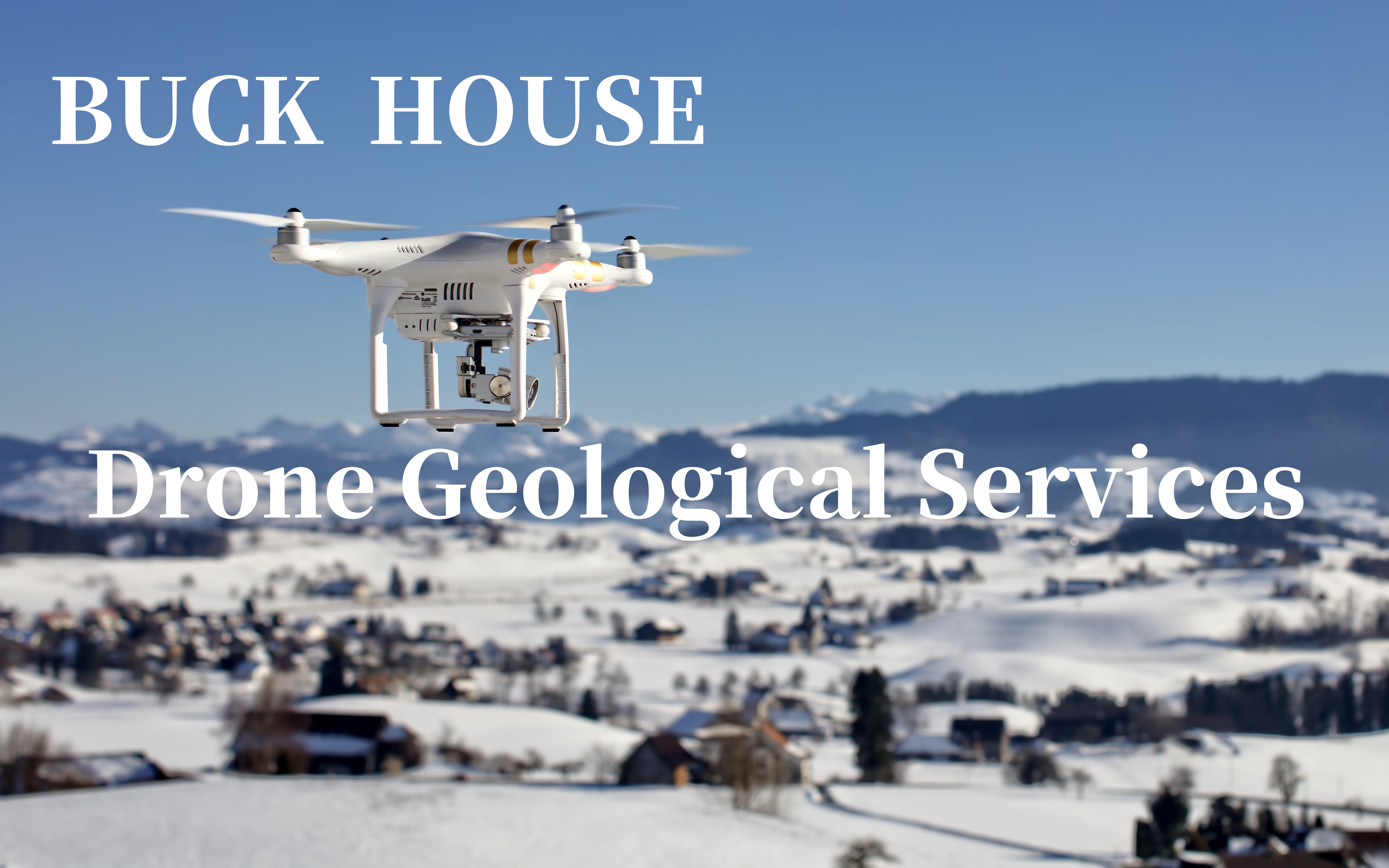
The application of drones in geological services mainly focuses on the following aspects: high-precision surveying: drones combined with photogrammetry and LiDAR scanning technology can quickly and accurately obtain terrain and landform information, reduce manual survey workload, and improve data integrity and accuracy. Adapting to complex environments: Geological exploration environments are often remote and full of safety risks. Drones collect data from the air, eliminating the need for most manual on-site surveys, improving operational efficiency, and ensuring personnel safety. Comprehensive coverage: Drones can comprehensively cover the entire geological survey site, obtaining comprehensive and complete geographic information. Compared with traditional methods that can only obtain partial information, drone surveying has significant advantages. Efficient operation: Modern drones have the ability to fly for a long time and have efficient data processing capabilities, which can complete large-scale mapping tasks in a short period of time. For example, the DJI Mavic 3E portable surveying drone can complete the acquisition of 2D orthophoto data of 2 square kilometers in a single flight. Real time monitoring: Drones can fly around mining areas on a regular or real-time basis to obtain high-resolution image data, which can be used to compare the topography, vegetation, water bodies, and other conditions at different time points, thereby monitoring changes in the environment. Environmental monitoring: Drones also play an important role in environmental monitoring, such as water quality investigation, atmospheric environment monitoring, ecological protection monitoring, etc. The image data generated by drone aerial photography can effectively monitor the development of mineral resources. This service is led by Buckhouse Intelligent Technology Co., Ltd. and jointly provided by qualified partners. If you need to know more about the service details, please contact the company's business personnel at email: BUSI@buckhouse.cn
Previous: Unmanned aerial vehicle environmental quality monitoring service
Next:No