Swiss robotics company Wingtra develops vertical takeoff and landing professional surveying unmanned aerial vehicles to achieve faster and wider high-precision aerial surveying

Wingtra, a Swiss robotics technology company founded in 2016, is committed to developing, producing, and commercializing high-precision vertical takeoff and landing professional surveying drones for collecting aerial survey data. The Wingtra drone can take off and land vertically, adapt to various terrains, and can carry higher payloads in fixed wing mode to fly farther distances, continuously providing large-scale, high-resolution, and high-precision data, and efficiently completing surveying work.
Wingtra is a spin off of the Autonomous Systems Laboratory at ETH Zurich, co founded by Maximilian Boosfeld, Basil Weibel, Elias Kleimann, and Sebastian Verling. Wingtra is located in Zurich, Switzerland, with offices in Fort Lauderdale, USA and Zagreb, Croatia, and has a team of over 100 people.
The vertical takeoff and landing professional surveying drone developed by Wingtra combines the advantages of multi rotor aircraft and fixed wing drones, and can take off and land vertically in any terrain, with high flexibility; It can also fly long distances forward like a fixed wing aircraft, achieving larger areas, lower costs, and higher precision and resolution in surveying and data collection. At the same time, Wingtra has developed a flight planning and data collaboration software platform that allows for one-stop operation of drone flight planning, surveying collaboration, data synchronization, and automatic analysis and processing of surveying data, further enhancing the automation level and application scalability of Wingtra drones.
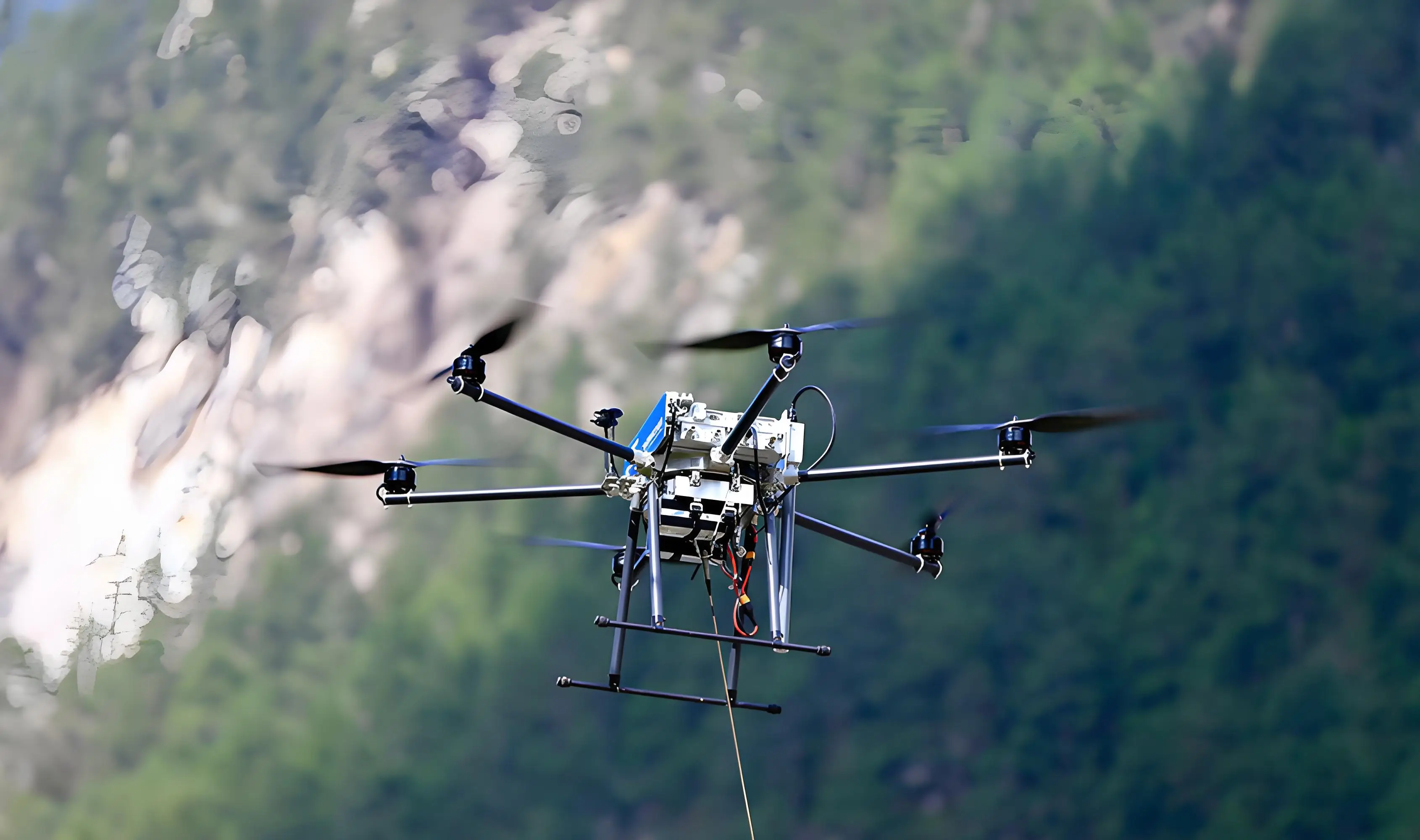
The vertical takeoff and landing (VTOL) design used by Wingtra drones allows them to take off and land vertically at any location, including narrow spaces or uneven ground, like a helicopter; After takeoff, it can be converted to fixed wing mode, using the lift generated during flight like a fixed wing aircraft to carry heavier payloads and achieve efficient long-range flight. This allows Wingtra drones to maintain maneuverability in narrow spaces while achieving much larger surveying areas than multi rotor aircraft. Wingtra's drones can fly at a speed of 16 meters per second (36 miles per hour), with a range of up to 59 minutes. Its single flight coverage can reach 460 hectares, which is 11 times that of multi rotor drones and 2 times that of standard fixed wing drones.
By configuring different cameras, Wingtra drones can continuously provide high-resolution and high-precision data. The Wingtra drone can be equipped with a 61 megapixel full frame camera, integrated with the highest quality sensors, capable of freely switching between RGB and multispectral modes, and outputting various types of images such as 2D orthophoto, dot matrix, and multispectral mapping; 3D models and digital twins can be created on a large scale based on high-precision data, achieving the integration of surveying and modeling; Its ground image resolution can reach 0.7 centimeters per pixel, with an absolute horizontal accuracy as low as 1 centimeter. In a single flight, the Wingtra drone can complete digital mapping of over 100 hectares with a resolution of 0.5 inches per pixel. Compared with ground measurement methods, its cost has been reduced by 90% and its speed has been increased by 30 times. In addition, the Wingtra drone uses onboard high-precision post-processing differential technology (PPK) global satellite navigation system (GNSS) receivers, which do not require the deployment of ground control points (GCP). With only three checkpoints, it can achieve centimeter level absolute precision image geographic labeling for all types of images.
Wingtra also develops a flight planning and data collaboration software platform, which integrates functions such as flight planning, data acquisition, data processing, team collaboration, and data integration, further enhancing project data collaboration, simplifying surveying workflows, and ensuring consistency of surveying data between projects. The software platform of Wingtra can quickly complete surveying task planning and drone function settings before flight, and provide team members with collaborative inspection. After the drone takes off, the software platform will synchronously process flight information and surveying data for the team to adjust the flight plan at any time, and collaborate and communicate on the generated surveying data such as measurement distance, area, and volume, thereby achieving openness and collaboration in surveying work, ensuring consistency in data processing, unifying surveying workflow, and improving team collaboration efficiency across regions and projects.
Wingtra's drones can be widely used in fields such as urban surveying, mining, construction, and agriculture and forestry. In the field of urban surveying and mapping, Wingtra can accurately measure land conditions and extract image features for land management, development, and urban planning. In the fields of mining and construction, Wingtra can continuously output construction progress images of the construction site, thereby assisting in real-time optimization of engineering decisions. In the field of agriculture and forestry, Wingtra can provide accurate data support for growth and irrigation plans through land and crop mapping.
At present, Wingtra has established partnerships with over 80 large measurement equipment distributors in more than 50 countries worldwide. Its drones and software platforms have been adopted by clients such as NASA, Oxford University, Cemex, and Rio Tinto, and it plans to further serve global customers. In March 2023, Wingtra completed a Series B funding of $22 million, with investors including DiamondStream Partners EquityPitcher Ventures、Verve Ventures、 The European Innovation Commission Fund (EIC Fund) and others. The company plans to further enhance the functionality and quality of drones, accelerate the expansion of its global layout, and focus on advancing the company's cutting-edge technology research and development in sustainable forestry management and other fields.


